
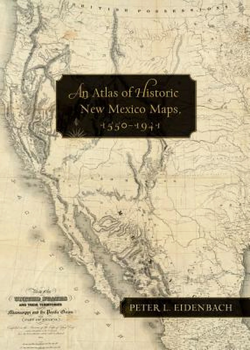
An Atlas of Historic New Mexico Maps, 1550–1941
Book Details
Format
Hardback or Cased Book
ISBN-10
0826352294
ISBN-13
9780826352293
Publisher
University of New Mexico Press
Imprint
University of New Mexico Press
Country of Manufacture
US
Country of Publication
GB
Publication Date
Nov 30th, 2012
Print length
144 Pages
Weight
2,030 grams
Dimensions
36.00 x 26.10 x 2.20 cms
Ksh 11,050.00
Werezi Extended Catalogue
0 in stock
Delivery Location
Delivery fee: Select location
Secure
Quality
Fast
Eidenbach has compiled a collection of New Mexico’s historic maps, navigating through a varied terrain of research and discovery, even securing permissions for colonial-era maps held in special collections with limited public access. This collection, featuring beautifully rendered diagrams of New Mexico’s landscape, allows exploration of the past as seen by that past’s inhabitants.
Strange as it may seem from our modern American perspective, New Mexico was literally a foreign country until the middle of the nineteenth century and, as field archaeologist and history instructor Peter Eidenbach discovered, in the minds of some it still is. The New Mexico landscape is easy to get lost in and much of its terrain has not been fully explored in many years. Yet, the state holds a rich cartographic history not often recognised by the many people who daily interact with its topography. Approaching this gap as a teacher and enthusiast, Eidenbach set about compiling a collection of New Mexico’s historic maps, navigating through a varied terrain of research and discovery, even securing permissions for colonial-era maps held in special collections with limited public access. This collection, featuring beautifully rendered diagrams of New Mexico’s landscape, allows exploration of the past as seen by that past’s inhabitants.
Get An Atlas of Historic New Mexico Maps, 1550–1941 by at the best price and quality guaranteed only at Werezi Africa's largest book ecommerce store. The book was published by University of New Mexico Press and it has pages.

