Atlas of Historical Eclipse Maps : East Asia 1500 BC–AD 1900
Book Details
Format
Paperback / Softback
ISBN-10
052110694X
ISBN-13
9780521106948
Publisher
Cambridge University Press
Imprint
Cambridge University Press
Country of Manufacture
GB
Country of Publication
GB
Publication Date
Apr 2nd, 2009
Print length
448 Pages
Weight
710 grams
Dimensions
24.40 x 17.00 x 2.30 cms
Product Classification:
Solar system: the Sun & planets
Ksh 8,650.00
Manufactured on Demand
0 in stock
Delivery Location
Delivery fee: Select location
Secure
Quality
Fast
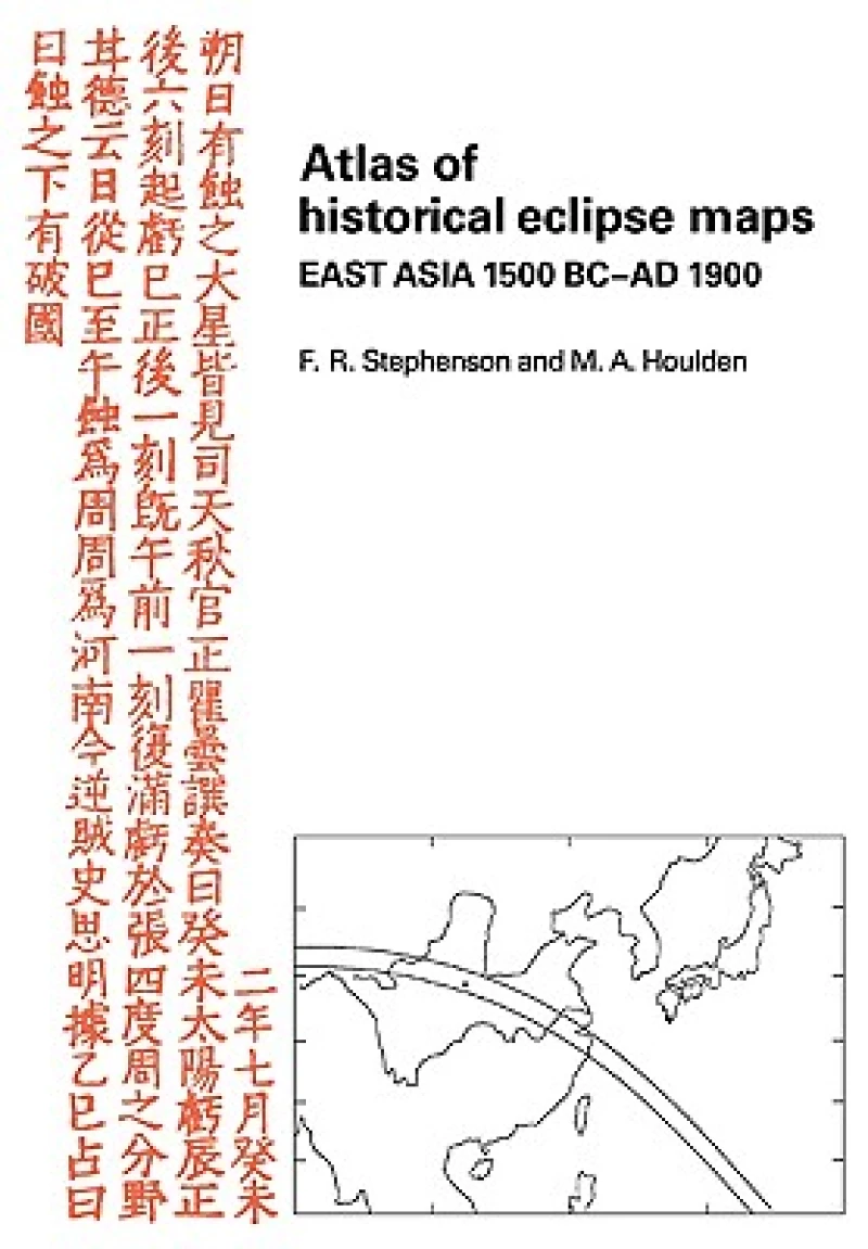
This 1986 book presents a series of computer-drawn maps for all total and annular eclipses of the Sun calculated to have been observable in East Asia from 1500 BC to AD 1900. The study of past eclipses is useful, for example in determining the long-term behaviour of the Earth's rate of rotation.
Get Atlas of Historical Eclipse Maps by at the best price and quality guaranteed only at Werezi Africa's largest book ecommerce store. The book was published by Cambridge University Press and it has pages.

