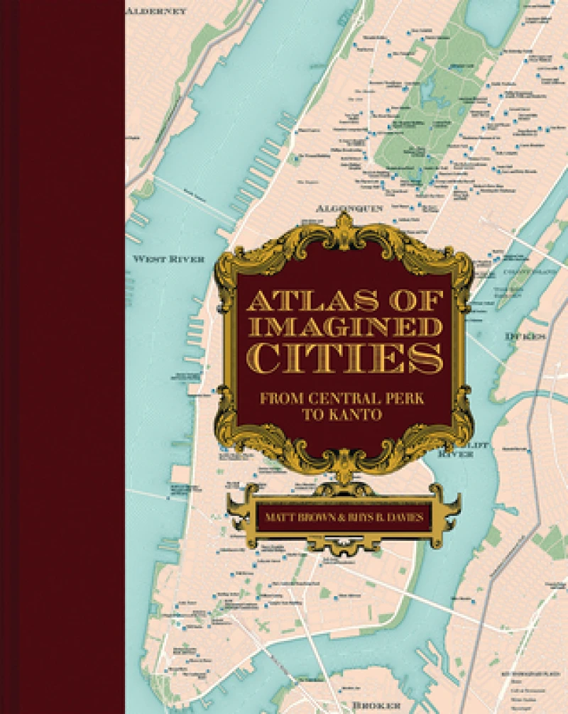
Atlas of Imagined Cities : Who lives where in TV, books, games and movies?
Book Details
Format
Hardback or Cased Book
Book Series
Atlases of the Imagination
ISBN-10
1849947783
ISBN-13
9781849947787
Publisher
Batsford
Imprint
Batsford
Country of Manufacture
CN
Country of Publication
GB
Publication Date
Oct 12th, 2023
Print length
168 Pages
Weight
1,246 grams
Dimensions
32.00 x 25.20 x 2.00 cms
Product Classification:
Popular cultureStreet maps & city plansGift books
Ksh 4,950.00
Werezi Extended Catalogue
Delivery in 14 days
2 copies in stock
Delivery Location
Delivery fee: Select location
Delivery in 14 days
Secure
Quality
Fast
Locations from TV shows, movies, books and computer games are plotted on maps of real-life cities, helping you pinpoint where these fictional worlds are set in real life.
Explore the fictional topography of the most inspiring world citiesincluding London, New York, Los Angeles, Paris, and Tokyoin this new book from the creators of the award-winning Atlas of Imagined Places.
Did you know that James Bond and George Smiley were practically neighbors, or that girls-about-town Holly Golightly, Annie Hall, and Carrie Bradshaw all lived a couple of blocks from one another?
Fourteen of the most stunning city maps show exactly where your characters lived, loved, worked, and played. Find out where to enjoy a coffee from Central Perk (Friends), a butterbeer in the Leaky Cauldron (Harry Potter), or a revolutionary tipple in the Defarge Wine Shop (A Tale of Two Cities). Navigate round Londons fictional tube network, from Walford East (EastEnders) to Hobbs End (Quatermass). Or fly between cities on one of a dozen fictional airlines (mapped to their home airports). Characters homes, bars, clubs, metro stations, and skyscrapers that youve seen or read about are all plotted in beautiful vintage-style city maps.
The maps draw from the movies, TV, novels, video games, and more, all painstakingly tracked down, mapped, annotated, and wittily divulged by the authors. Let them show you how to get to Sesame Street, and thousands of other places, in this indispensable guidebook to all those places you always wanted to visit...if only they were real.
Get Atlas of Imagined Cities by at the best price and quality guaranteed only at Werezi Africa's largest book ecommerce store. The book was published by Batsford and it has pages.

