Book Details
Format
Paperback / Softback
ISBN-10
0804845298
ISBN-13
9780804845298
Edition
Fourth Edition
Publisher
Tuttle Publishing
Imprint
Tuttle Publishing
Country of Manufacture
SI
Country of Publication
GB
Publication Date
Aug 4th, 2015
Print length
144 Pages
Weight
378 grams
Dimensions
27.20 x 19.90 x 0.80 cms
Product Classification:
Street maps & city plans
Ksh 2,700.00
Re-Printing
0 in stock
Delivery Location
Delivery fee: Select location
Secure
Quality
Fast
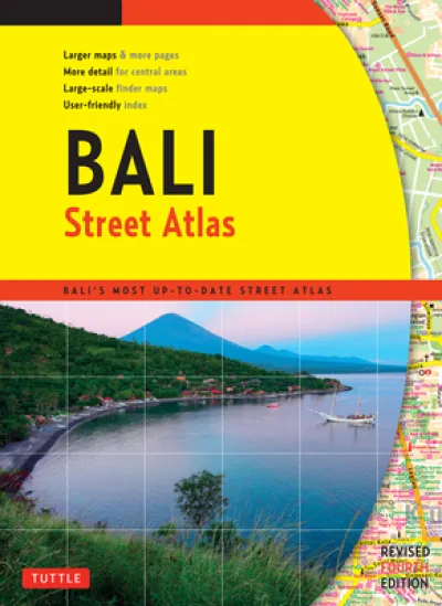
Finding your way around Bali has never been easier! This newly revised Street Atlas from Periplus, Asia's leading book and map Publisher, is designed for Bali residents and visitors. It is the first and only atlas of Bali produced to world-class cartographic standards. All roads are color-coded with major arteries in bright yellow and orange. All key landmarks are highlighted — including beaches, temples, hotels, shops, restaurants, shopping malls, consulates, government offices, hospitals, clinics, police stations, schools, parks, banks, and golf courses. Towns and tourist areas are shown at scales of 1:10,000 to 1:15,000 to provide detailed coverage of these important areas. Other parts of the island are shown at scales of 1:60,000 or 1:75,000 for ease of reference and minimum page-flipping. User-friendly indexes at the back list all streets, towns, villages, and buildings for quick reference. COMPREHENSIVE: Covers every major town and tourist area in Bali. INFORMATIVE: Gives precise locations of popular sights, including hotels, restaurants, temples, shopping malls, and other essential landmarks. PRACTICAL: The handy size, well-designed key maps, and comprehensive indexes help you find your destination quickly. RELIABLE: The maps in this atlas are thoroughly researched and regularly updated by Periplus — the leading publisher of Asia Pacific maps.
Finding your way around Bali has never been easier! This newly revised Street Atlas from Periplus, Asia''s leading book and map Publisher, is designed for Bali residents and visitors. It is the first and only atlas of Bali produced to world-class cartographic standards.
All roads are color-coded with major arteries in bright yellow and orange. All key landmarks are highlighted — including beaches, temples, hotels, shops, restaurants, shopping malls, consulates, government offices, hospitals, clinics, police stations, schools, parks, banks, and golf courses.
Towns and tourist areas are shown at scales of 1:10,000 to 1:15,000 to provide detailed coverage of these important areas. Other parts of the island are shown at scales of 1:60,000 or 1:75,000 for ease of reference and minimum page-flipping. User-friendly indexes at the back list all streets, towns, villages, and buildings for quick reference.
COMPREHENSIVE: Covers every major town and tourist area in Bali.
INFORMATIVE: Gives precise locations of popular sights, including hotels, restaurants, temples, shopping malls, and other essential landmarks.
PRACTICAL: The handy size, well-designed key maps, and comprehensive indexes help you find your destination quickly.
RELIABLE: The maps in this atlas are thoroughly researched and regularly updated by Periplus — the leading publisher of Asia Pacific maps.
Get Bali Street Atlas Fourth Edition by at the best price and quality guaranteed only at Werezi Africa's largest book ecommerce store. The book was published by Tuttle Publishing and it has pages.

