Book Details
Format
Sheet Map, Folded
ISBN-10
1566956595
ISBN-13
9781566956598
Edition
2020th ed.
Publisher
National Geographic Maps
Imprint
National Geographic Maps
Country of Manufacture
US
Country of Publication
GB
Publication Date
Aug 2nd, 2012
Print length
1 Pages
Weight
94 grams
Dimensions
10.70 x 23.40 x 0.90 cms
Product Classification:
Travel maps & atlases
Ksh 2,700.00
Werezi Extended Catalogue
0 in stock
Delivery Location
Delivery fee: Select location
Secure
Quality
Fast
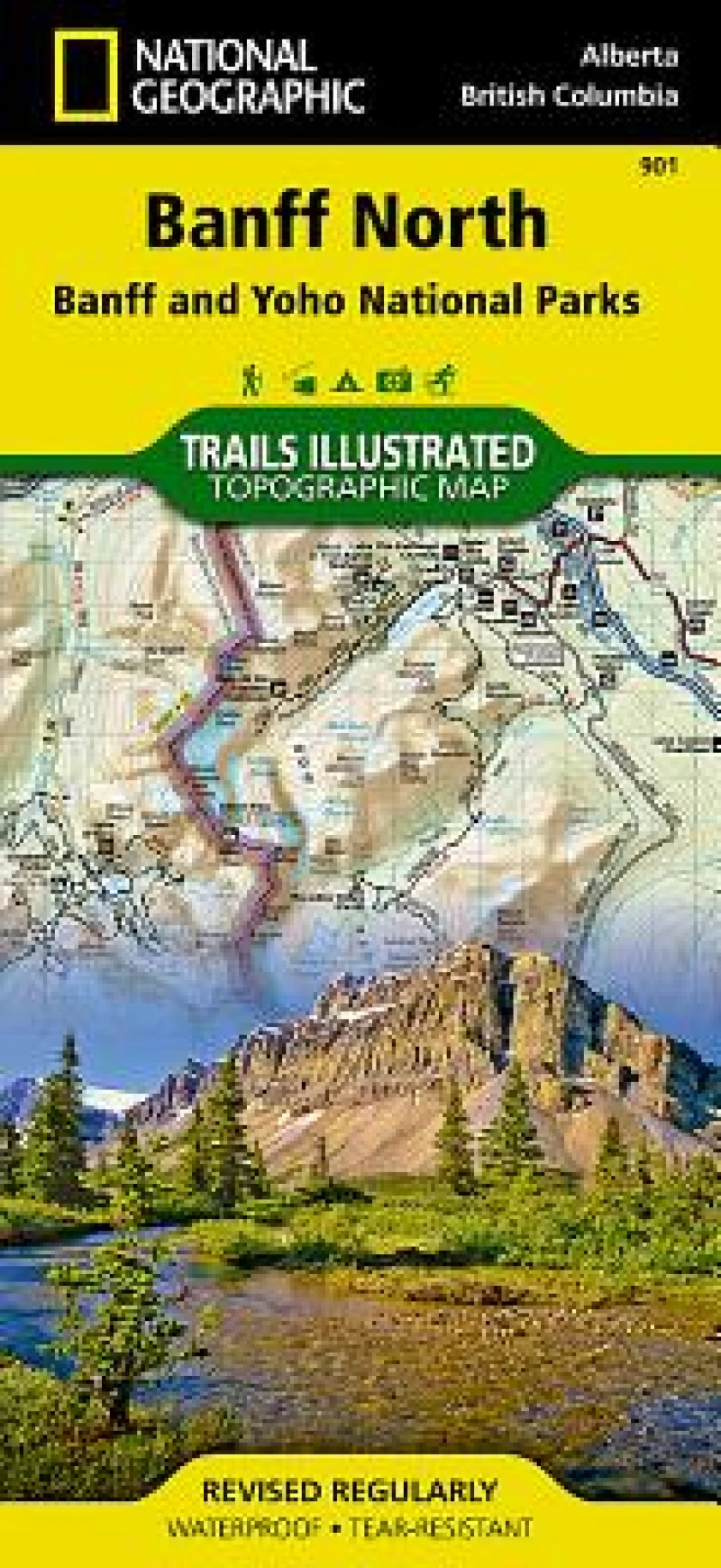
Trails Illustrated topographic maps are the most detailed and up-to-date recreation maps available for these national parks, national forests and popular outdoor recreation areas. The front side of the Banff North map details the south side of the national park, and also covers survival tips, area trails, entry fees and details both Kootenay and Yoho Nationals Parks. The reverse side of the map details the north side of the park, while insets show safe travel in Bear Country, and all the recreation the park has to offer. The map is printed on waterproof, tear-resistant material.
Trails Illustrated topographic maps are the most detailed and up-to-date recreation maps available for these national parks, national forests and popular outdoor recreation areas. The front side of the Banff North map details the south side of the national park, and also covers survival tips, area trails, entry fees and details both Kootenay and Yoho Nationals Parks. The reverse side of the map details the north side of the park, while insets show safe travel in Bear Country, and all the recreation the park has to offer. The map is printed on waterproof, tear-resistant material.
Get Banff North by at the best price and quality guaranteed only at Werezi Africa's largest book ecommerce store. The book was published by National Geographic Maps and it has pages.

