Book Details
Format
Paperback / Softback
ISBN-10
0008496366
ISBN-13
9780008496364
Edition
9 Revised edition
Publisher
HarperCollins Publishers
Imprint
HarperCollins
Country of Manufacture
IN
Country of Publication
GB
Publication Date
Apr 14th, 2022
Print length
108 Pages
Weight
160 grams
Dimensions
14.80 x 21.50 x 0.90 cms
Product Classification:
Place names & gazetteersStreet maps & city plans
Ksh 1,450.00
Temporarily out of stock, due soon
0 in stock
Delivery Location
Delivery fee: Select location
Secure
Quality
Fast
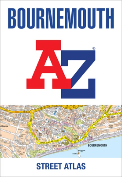
Navigate your way around Bournemouth with this detailed and easy-to-use A-Z Street Atlas. Printed in full-colour, paperback format, this atlas contains 63 pages of continuous street mapping.
Navigate your way around Bournemouth with this detailed and easy-to-use A-Z Street Atlas.Printed in full-colour, paperback format, this atlas contains 63 pages of continuous street mapping.Covered extends to include: Poole, Christchurch, Blashford, Ringwood, Wimborne Minster, Ferndown, Bournemouth Airport, Barton on Sea, Milford on Sea, Lymington.In addition, there are seperate coverages of Verwood, Lyndhurst and Brockenhurst, an inset of Three Legged Cross and large scale town centre maps of Bournemouth and Poole.Postcode districts, one-way streets, park and ride sites and the New Forest National Park boundary are also featured on the mapping.The index section lists streets, selected flats, walkways and places of interest, place, area and station names, hospitals and hospices covered by this atlas.
Get Bournemouth A-Z Street Atlas by at the best price and quality guaranteed only at Werezi Africa's largest book ecommerce store. The book was published by HarperCollins Publishers and it has pages.

