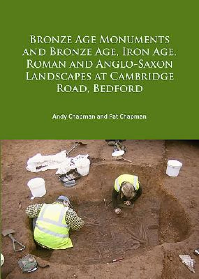
Bronze Age Monuments and Bronze Age, Iron Age, Roman and Anglo-Saxon Landscapes at Cambridge Road, Bedford
Book Details
Format
Paperback / Softback
ISBN-10
1784916048
ISBN-13
9781784916046
Publisher
Archaeopress
Imprint
Archaeopress Archaeology
Country of Manufacture
GB
Country of Publication
GB
Publication Date
Jun 30th, 2017
Print length
166 Pages
Weight
610 grams
Dimensions
29.10 x 20.50 x 1.40 cms
Ksh 5,900.00
Werezi Extended Catalogue
Delivery in 14 days
1 copies in stock
Delivery Location
Delivery fee: Select location
Delivery in 14 days
Secure
Quality
Fast
Presents the results of open area excavations on 14.45ha of land at Cambridge Road, Bedford, carried out in 2004-5 in advance of development.
Open area excavation on 14.45ha of land at Cambridge Road, Bedford was carried out in 2004-5 in advance of development. A background scatter of Early Neolithic flint, including a Langdale stone axe, may be related to the nearby presence of the Cardington causewayed enclosure. Two Early Bronze Age ring ditches sat on a low lying gravel ridge between the River Great Ouse and the Elstow Brook. A causewayed ring ditch, 30m in diameter, had a broad entrance to the southwest, where a shallow length of ditch either silted or had been filled in. Adjacent to the shallow ditch was a pit containing three crouched burials, probably in an oak-lined chamber, radiocarbon dated to the early Middle Bronze Age. A nearby small round barrow enclosed a deep central grave containing the crouched burial of a woman, probably within an oak-lined chamber. An L-shaped ditch to the east, radiocarbon dated to the Middle to Late Bronze transition, may have been the final feature of the monument group. It parallels the addition of L-shaped ditches/pit alignments at other contemporary ring ditch monuments. Shallow linear ditches formed a land boundary extending north and south from the Bronze Age ring ditch, and other contemporary ditches were remnants of a rectilinear field system, contemporary with a scatter of irregular pits and a waterhole. This phase came to an end at the Late Bronze Age/ Early Iron Age transition, when a large assemblage of decorated pottery was dumped in the final fills of the waterhole. By the Middle Iron Age there was a new linear boundary, comprising three near parallel ditches, aligned north-south; a rectangular enclosure and a complex of intercut pits. The pottery assemblage was sparse, but the upper fills of both the deepest linear boundary ditch and the pit complex contained some Roman pottery. To the south-east an extensive Romano-British ladder settlement is dated to the 1st to 4th centuries AD. Only the northern fringe lay within the excavated area, comprising successive boundary ditches, along with pits, a stone-lined well, an inhumation burial and animal burials. In the early Anglo-Saxon period (5th-6th centuries AD), there was a loose cluster of three sunken featured buildings with another to the south. In the middle Saxon period (8th-9th centuries AD) a small rectangular mausoleum contained a single inhumation burial, with a second inhumation to the immediate west. Subsequent land use comprised truncated furrows of the medieval ridge and furrow field cultivation and post-medieval quarry pits.
Get Bronze Age Monuments and Bronze Age, Iron Age, Roman and Anglo-Saxon Landscapes at Cambridge Road, Bedford by at the best price and quality guaranteed only at Werezi Africa's largest book ecommerce store. The book was published by Archaeopress and it has pages.

