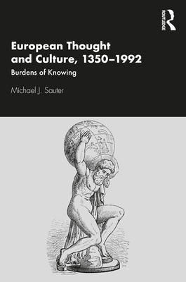
Cartographic Fool : Prints, Religion, and Visual Culture in Renaissance Europe
Book Details
Format
Hardback
ISBN-10
3111138208
ISBN-13
9783111138206
Publisher
De Gruyter
Imprint
De Gruyter
Country of Manufacture
GB
Country of Publication
GB
Publication Date
Mar 30th, 2026
Print length
256 Pages
Weight
491 grams
Product Classification:
Literary studies: general
KSh 17,550.00
Currently unavailable
0 in stock
Delivery Location
Delivery fee: Select location
Secure
Quality
Fast
The Cartographic Fool uncovers the story of the "Fool’s Cap Map," an engraving published ca. 1595 in Antwerp. Placing it in northern Europe during the Wars of Religion, the book identifies its maker, Philips Galle, restores its title, Nosce Te Ipsum ("Know Thyself"), and explains its motifs as a brief Catholic response to the Reformed Church’s embrace of global maps.
Get Cartographic Fool by Michael J. Sauter at the best price and quality guaranteed only at Werezi Africa's largest book ecommerce store. The book was published by De Gruyter and it has 256 pages.
Customers Who Bought This Also Bought

How to Read a Book
KSh 2,000.00

Decolonising the Mind
KSh 4,700.00

How to Read & Why
KSh 2,350.00

Arabian Nights'' Entertainments
KSh 2,950.00

In the Wake
KSh 3,600.00
The Birth of Tragedy
KSh 1,800.00
Against Nature
KSh 1,800.00

The White Album
KSh 3,250.00
Robinson Crusoe
KSh 1,450.00
Metaphysical Poetry
KSh 2,350.00
Reading Lessons
KSh 2,350.00

Literature Book
KSh 4,250.00