
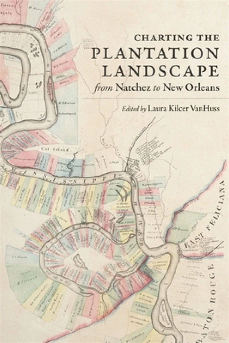
Charting the Plantation Landscape from Natchez to New Orleans
Book Details
Format
Hardback or Cased Book
Book Series
Reading the American Landscape
ISBN-10
0807174793
ISBN-13
9780807174791
Publisher
Louisiana State University Press
Imprint
Louisiana State University Press
Country of Manufacture
US
Country of Publication
GB
Publication Date
May 5th, 2021
Print length
256 Pages
Weight
520 grams
Dimensions
23.30 x 19.50 x 2.50 cms
Ksh 6,750.00
Temporarily out of stock, due soon
0 in stock
Delivery Location
Delivery fee: Select location
Secure
Quality
Fast
Examines the hidden histories behind one of the nineteenth-century South's most famous maps: Norman's Chart of the Lower Mississippi River, created by surveyor Marie Adrien Persac before the Civil War and used for decades to guide the pilots of river vessels.
Charting the Plantation Landscape from Natchez to New Orleans examines the hidden histories behind one of the nineteenth-century South's most famous maps: Norman's Chart of the Lower Mississippi River, created by surveyor Marie Adrien Persac before the Civil War and used for decades to guide the pilots of river vessels. Beyond its purely cartographic function, Persac's map depicted a world of accomplishment, prosperity, and wealth, while concealing the enslaved and exploited laborers whose work powered the plantations Persac drew. In this collection, contributors from a variety of disciplines consider the histories that Persac's map omitted, exploring plantations not as sites of ease and plenty, but as complex legal, political, and medical landscapes.
Essays by Laura Ewen Blokker and Suzanne Turner consider the built and designed landscapes of plantations as they were structured by the logics and logistics of both slavery and the effort to present a fa?ºade of serenity and wealth. William Horne and Charles D. Chamberlain III delve into the political activity of former slaves and slaveholders respectively, while Christopher Willoughby explores the ways the plantation health system was defined by the agro-industrial environment. Jochen Wierich examines artistic depictions of plantations from the antebellum years through the twentieth century, and Christopher Morris uses the famed Uncle Sam Plantation to explain how plantations have been memorialized, remembered, and preserved.
With keen insight into the human cost of the idealized version of the agrarian South depicted in Persac's map, Charting the Plantation Landscape encourages us to see with new eyes and form new definitions of what constitutes the plantation landscape.
Essays by Laura Ewen Blokker and Suzanne Turner consider the built and designed landscapes of plantations as they were structured by the logics and logistics of both slavery and the effort to present a fa?ºade of serenity and wealth. William Horne and Charles D. Chamberlain III delve into the political activity of former slaves and slaveholders respectively, while Christopher Willoughby explores the ways the plantation health system was defined by the agro-industrial environment. Jochen Wierich examines artistic depictions of plantations from the antebellum years through the twentieth century, and Christopher Morris uses the famed Uncle Sam Plantation to explain how plantations have been memorialized, remembered, and preserved.
With keen insight into the human cost of the idealized version of the agrarian South depicted in Persac's map, Charting the Plantation Landscape encourages us to see with new eyes and form new definitions of what constitutes the plantation landscape.
Get Charting the Plantation Landscape from Natchez to New Orleans by at the best price and quality guaranteed only at Werezi Africa's largest book ecommerce store. The book was published by Louisiana State University Press and it has pages.

