Collins Ireland Touring Map
by
Collins Maps
Book Details
Format
Sheet Map, Folded
ISBN-10
0008369968
ISBN-13
9780008369965
Publisher
HarperCollins Publishers
Imprint
Collins
Country of Manufacture
CN
Country of Publication
GB
Publication Date
Mar 17th, 2022
Print length
1 Pages
Weight
136 grams
Dimensions
14.10 x 23.70 x 1.80 cms
Product Classification:
Travel maps
Ksh 1,100.00
Temporarily out of stock, due soon
0 in stock
Delivery Location
Delivery fee: Select location
Secure
Quality
Fast
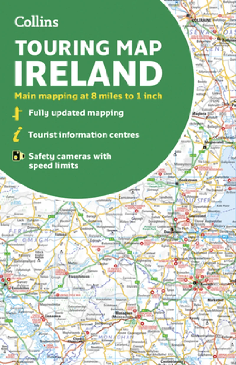
Explore new places with handy pocket maps from Collins. Large full colour map of the whole of Ireland showing the road network in detail, and with a special emphasis on places of tourist interest.
Explore new places with handy pocket maps from Collins.Large full colour map of the whole of Ireland showing the road network in detail, and with a special emphasis on places of tourist interest.This map has a handy touring scale of 7.5 miles to 1 inch (1:475,200). It has more than 20 categories of tourist information depicted clearly on the map. There is a full index to place names and places of interest.This map includes:• All classified and most minor roads• Railway network and ferry routes• Viewpoints and sandy beaches• Speed enforcement zones and safety camera locations• Index to 20 categories of tourist information• Includes castles, historic houses, gardens, beaches and golf courses
Get Collins Ireland Touring Map by at the best price and quality guaranteed only at Werezi Africa's largest book ecommerce store. The book was published by HarperCollins Publishers and it has pages.

