Collins London Handy Street Map
by
Collins Maps
Book Details
Format
Sheet Map, Folded
ISBN-10
0008320586
ISBN-13
9780008320584
Publisher
HarperCollins Publishers
Imprint
Collins
Country of Manufacture
CN
Country of Publication
GB
Publication Date
Feb 7th, 2019
Print length
2 Pages
Weight
92 grams
Dimensions
19.30 x 11.60 x 0.80 cms
Product Classification:
Street maps & city plans
Ksh 700.00
Werezi Extended Catalogue
Delivery in 14 days
1 copies in stock
Delivery Location
Delivery fee: Select location
Delivery in 14 days
Secure
Quality
Fast
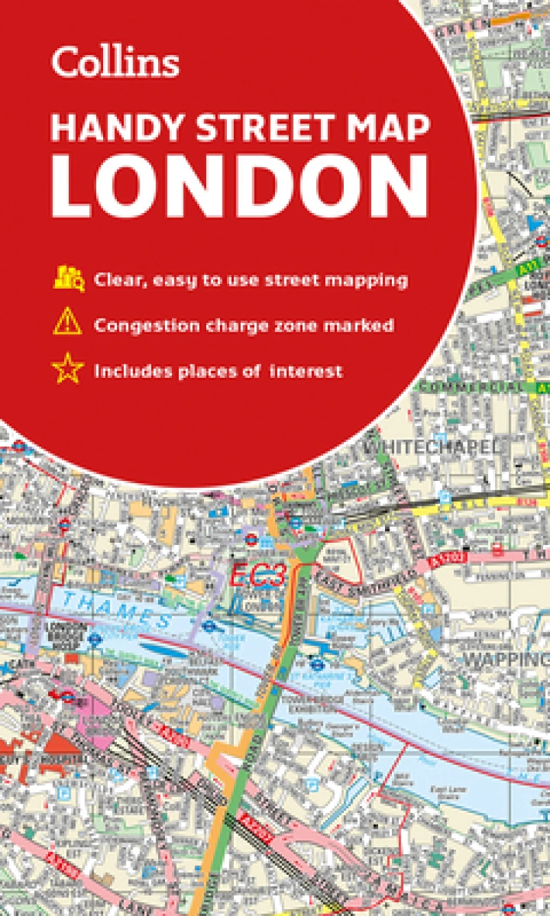
An essential companion whether you are travelling around London by car, public transport or on foot. Clear and easy-to-read map of central London and surrounding area. Contains detailed mapping, presented in a handy compact format.
An essential companion whether you are travelling around London by car, public transport or on foot.Clear and easy-to-read map of central London and surrounding area. Contains detailed mapping, presented in a handy compact format.This attractive map, ideal for both tourists and residents, and fully updated, has an extensive area of coverage and displays a wealth of detail.This map includes:• New for this edition: Electric car recharging sites• Fully classified roads• Congestion charging zone & T-charge (Ultra Low Emission Zone from April 2019)• Postal districts and boundaries clearly depicted• Full indexes to street names (on back of map), place names and places of interest• Fully updated London underground map conveniently located on the back coverCovers this area:Extends from Hampstead in the north to Clapham in the south and from Hammersmith in the west to Greenwich in the east.Scale: 1:17,500 (3.6 inches to 1 mile)
Get Collins London Handy Street Map by at the best price and quality guaranteed only at Werezi Africa's largest book ecommerce store. The book was published by HarperCollins Publishers and it has pages.

