Drawing Louisiana's New Map : Addressing Land Loss in Coastal Louisiana
Book Details
Format
Paperback / Softback
ISBN-10
0309100542
ISBN-13
9780309100540
Publisher
National Academies Press
Imprint
National Academies Press
Country of Manufacture
US
Country of Publication
GB
Publication Date
Mar 23rd, 2006
Print length
204 Pages
Weight
342 grams
Dimensions
22.90 x 15.40 x 1.30 cms
Product Classification:
Geological surface processes (geomorphology)Land reclamation & drainage
Ksh 10,600.00
Publisher Out of Stock
0 in stock
Delivery Location
Delivery fee: Select location
Secure
Quality
Fast
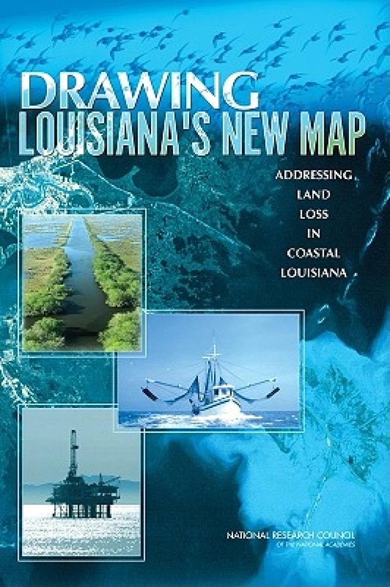
During the past 50 years, coastal Louisiana has suffered catastrophic land loss due to both natural and human causes. This loss has increased storm vulnerability and amplified risks to lives, property, and economies--a fact underscored by Hurricanes Katrina and Rita. Drawing Louisiana's New Map reviews a restoration plan proposed by the U.S. Army Corps of Engineers and the State of Louisiana, finding that, although the individual projects in the study are scientifically sound, there should be more and larger scale projects that provide a comprehensive approach to addressing land loss over such a large area. More importantly, the study should be guided by a detailed map of the expected future landscape of coastal Louisiana that is developed from agreed upon goals for the region and the nation.
Get Drawing Louisiana's New Map by at the best price and quality guaranteed only at Werezi Africa's largest book ecommerce store. The book was published by National Academies Press and it has pages.

