
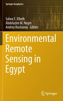
Environmental Remote Sensing in Egypt
2020 ed.
Book Details
Format
Hardback
Book Series
Springer Geophysics
ISBN-10
3030395928
ISBN-13
9783030395926
Edition
2020 ed.
Publisher
Springer Nature Switzerland AG
Imprint
Springer Nature Switzerland AG
Country of Manufacture
GB
Country of Publication
GB
Publication Date
Mar 31st, 2020
Print length
608 Pages
Product Classification:
Limnology (freshwater)Limnology (inland waters)Geographical information systems (GIS) & remote sensingGeographical information systems, geodata and remote sensingEnvironmental managementNatural disastersEnvironmental science, engineering & technologyEnvironmental science, engineering and technology
KSh 16,200.00
Currently unavailable
0 in stock
Delivery Location
Delivery fee: Select location
Secure
Quality
Fast
This book presents a comprehensive selection of applications employed in environmental remote sensing using optical and thermal infrared satellite-sensors aiming to map natural resources, crops, groundwater, surface water, aquatic ecosystem, land degradation, air quality, renewable energy, regional resources, and climate-related geophysical processes. The technologies presented in this book also include satellite images, space-borne radar sensors focusing on the most versatile one, data from synthetic aperture radar (SAR), scatterometers and radar altimeters in Egypt. This volume also presents a thorough explanation of the remote sensing role showing physical fundamentals of the climate change phenomenon including gas emissions, and the impact on resources concerning the sustainable development of Egypt. Besides, the book includes an analysis of oil pollution in both Mediterranean and Red Seas This book is intended for environmental policymakers working in Egypt as well as scientists working with remote sensing technologies in highly populated arid regions.
Get Environmental Remote Sensing in Egypt by Abdelazim M. Negm at the best price and quality guaranteed only at Werezi Africa's largest book ecommerce store. The book was published by Springer Nature Switzerland AG and it has 608 pages.
Customers Who Bought This Also Bought

Is a River Alive?
KSh 2,150.00

Is a River Alive?
KSh 4,500.00

Flint River User's Guide
KSh 5,200.00
Principles of Forest Hydrology
KSh 5,350.00

Saving America's Amazon
KSh 7,650.00

Altamaha
KSh 8,100.00
Ocmulgee River User's Guide
KSh 5,200.00

Searching for Home Waters
KSh 8,650.00
River of Lakes – A Journey on Florida`s St. Johns River
KSh 19,850.00
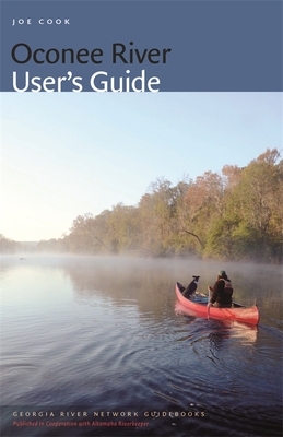
Oconee River User's Guide
KSh 6,000.00
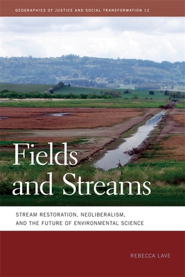
Fields and Streams – Stream Restoration, Neoliberalism, and the Future of Environmental Science
KSh 4,650.00
Fields and Streams – Stream Restoration, Neoliberalism, and the Future of Environmental Science
KSh 12,600.00