
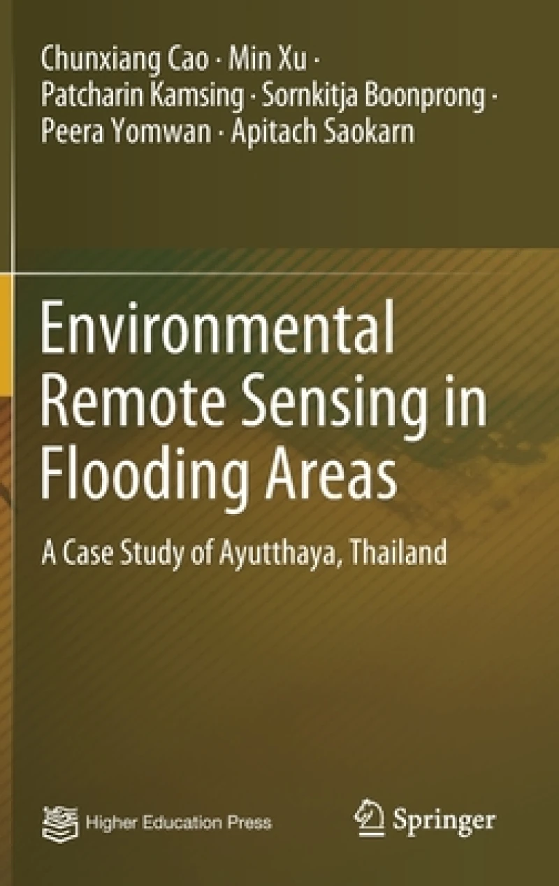
Environmental Remote Sensing in Flooding Areas : A Case Study of Ayutthaya, Thailand
2021 ed.
Book Details
Delivery Location
Delivery fee: Select location
This book introduces flood inundation area and flood risks assessment based on a comprehensive monitoring system using remote sensing and geographic information system technologies. Taking the 2011 flood disaster of Ayutthaya in Thailand as an example, it presents a flood intrusion zone identification method based on remote sensing technology, spatial information technology and geographic information system for flood disaster monitoring and early warning system. It introduces the study area and data, vegetation index, improved support vector machine and flood intrusion zone identification method. It also analyzes the flood remote sensing parameters and waterborne diseases, method of risk assessment of waterborne disease outbreak, waterborne disease outbreak risk monitoring based on backpropagation neural network and its expert system. It not only promotes a new interdisciplinary approach both in public health and space information technology, but also greatly supports decision makers in disaster reduction.
Get Environmental Remote Sensing in Flooding Areas by at the best price and quality guaranteed only at Werezi Africa's largest book ecommerce store. The book was published by Springer Verlag, Singapore and it has pages.

