
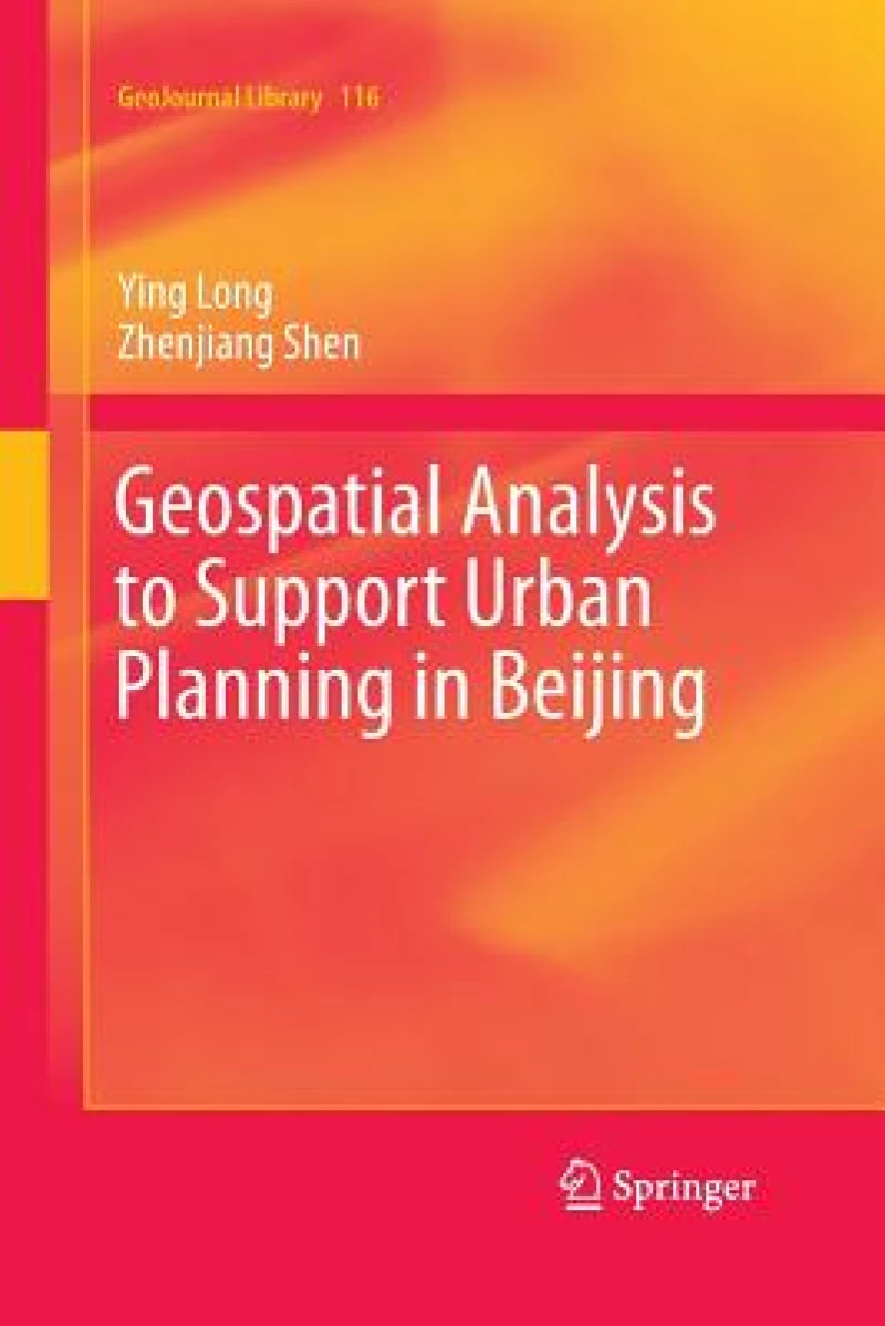
Geospatial Analysis to Support Urban Planning in Beijing
Softcover reprint of the original 1st ed. 2015
Book Details
Format
Paperback / Softback
Book Series
GeoJournal Library
ISBN-10
3319353454
ISBN-13
9783319353456
Edition
Softcover reprint of the original 1st ed. 2015
Publisher
Springer International Publishing AG
Imprint
Springer International Publishing AG
Country of Manufacture
CH
Country of Publication
GB
Publication Date
Aug 23rd, 2016
Print length
272 Pages
Weight
456 grams
Dimensions
15.50 x 23.30 x 2.00 cms
Ksh 8,100.00
Werezi Extended Catalogue
0 in stock
Delivery Location
Delivery fee: Select location
Secure
Quality
Fast
This book describes a comprehensive framework of novel simulation approaches, conventional urban models, and related data mining techniques that will help develop planning support systems in Beijing as well as other mega-metropolitan areas.
This book describes a comprehensive framework of novel simulation approaches, conventional urban models, and related data mining techniques that will help develop planning support systems in Beijing as well as other mega-metropolitan areas. It investigates the relationships between human behaviors and spatial patterns in order to simulate activities in an urban space, visualize planning alternatives, and support decision making. The book first explains urban space using geometric patterns, such as points, networks, and polygons, that help identify patterns of household and individual human behavior. Next, it details how novel simulation methodologies, such as cellular automaton and multi-agent systems, and conventional urban modeling, such as spatial interaction models, can be used to identify an optimal or a simulated solution for a better urban form. The book develops a comprehensive land use and transportation integrated model used to explore the spatial patterns ofmutual interaction between human mobility and urban space. This model can help forecast the distribution of different types of households, rent prices, and land prices, as well as the distribution of routes and traffic volume based on an appraisal of labor demand and supply. This book shows how geospatial analysis can be a useful tool for planners and decision makers to help in ascertaining patterns of activities and support urban planning. Offering both novel and conventional approaches to urban modeling, it will appeal to researchers, students, and policy makers looking for the optimal way to plan the development of a mega-metropolitan area.
Get Geospatial Analysis to Support Urban Planning in Beijing by at the best price and quality guaranteed only at Werezi Africa's largest book ecommerce store. The book was published by Springer International Publishing AG and it has pages.

