Glacier/waterton Lakes National Parks,map Pack Bundle : Trails Illustrated National Parks
2021st ed.
Book Details
Format
Sheet Map, Folded
ISBN-10
1597753998
ISBN-13
9781597753999
Edition
2021st ed.
Publisher
National Geographic Maps
Imprint
National Geographic Maps
Country of Manufacture
US
Country of Publication
GB
Publication Date
Aug 2nd, 2012
Print length
1 Pages
Weight
288 grams
Dimensions
20.20 x 13.20 x 1.90 cms
Product Classification:
Travel maps & atlases
Ksh 5,200.00
Werezi Extended Catalogue
0 in stock
Delivery Location
Delivery fee: Select location
Secure
Quality
Fast
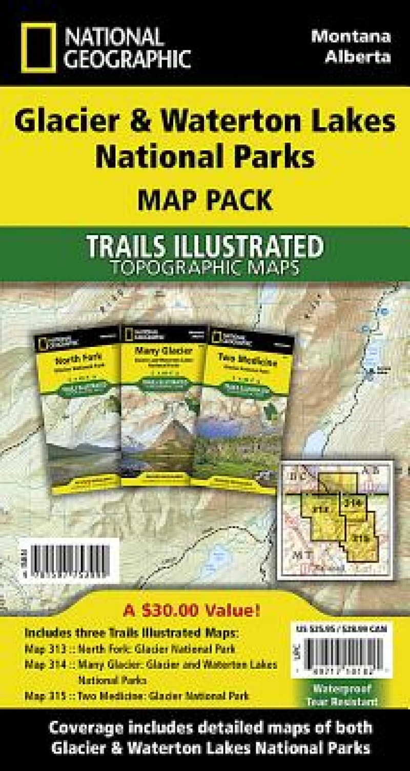
National Geographic's Trails Illustrated Maps are the most detailed and up-to-date topographic recreation maps available for US National Parks, National Forests and other popular outdoor recreation areas. A necessity for exploring the outdoors, each map is printed on waterproof, tear-resistant material. They also contain key safety and contact information, GPS and compass coordinates, Leave No Trace ethical guidelines and hundreds of points-of-interest, including scenic viewpoints, campgrounds, boat launches, swimming areas, marine sanctuaries and wildlife refuges.
National Geographic''s Trails Illustrated Maps are the most detailed and up-to-date topographic recreation maps available for US National Parks, National Forests and other popular outdoor recreation areas. A necessity for exploring the outdoors, each map is printed on waterproof, tear-resistant material. They also contain key safety and contact information, GPS and compass coordinates, Leave No Trace ethical guidelines and hundreds of points-of-interest, including scenic viewpoints, campgrounds, boat launches, swimming areas, marine sanctuaries and wildlife refuges.
Get Glacier/waterton Lakes National Parks,map Pack Bundle by at the best price and quality guaranteed only at Werezi Africa's largest book ecommerce store. The book was published by National Geographic Maps and it has pages.

