Great City Plans : Visions and Evolutions Through the Ages
Book Details
Format
Hardback or Cased Book
Book Series
Through the Ages
ISBN-10
8854415189
ISBN-13
9788854415188
Publisher
White Star
Imprint
White Star
Country of Manufacture
IT
Country of Publication
GB
Publication Date
Sep 8th, 2023
Print length
208 Pages
Weight
1,734 grams
Dimensions
31.40 x 27.70 x 2.40 cms
Product Classification:
General & world historyHistorical maps & atlases
Ksh 6,600.00
Werezi Extended Catalogue
0 in stock
Delivery Location
Delivery fee: Select location
Secure
Quality
Fast
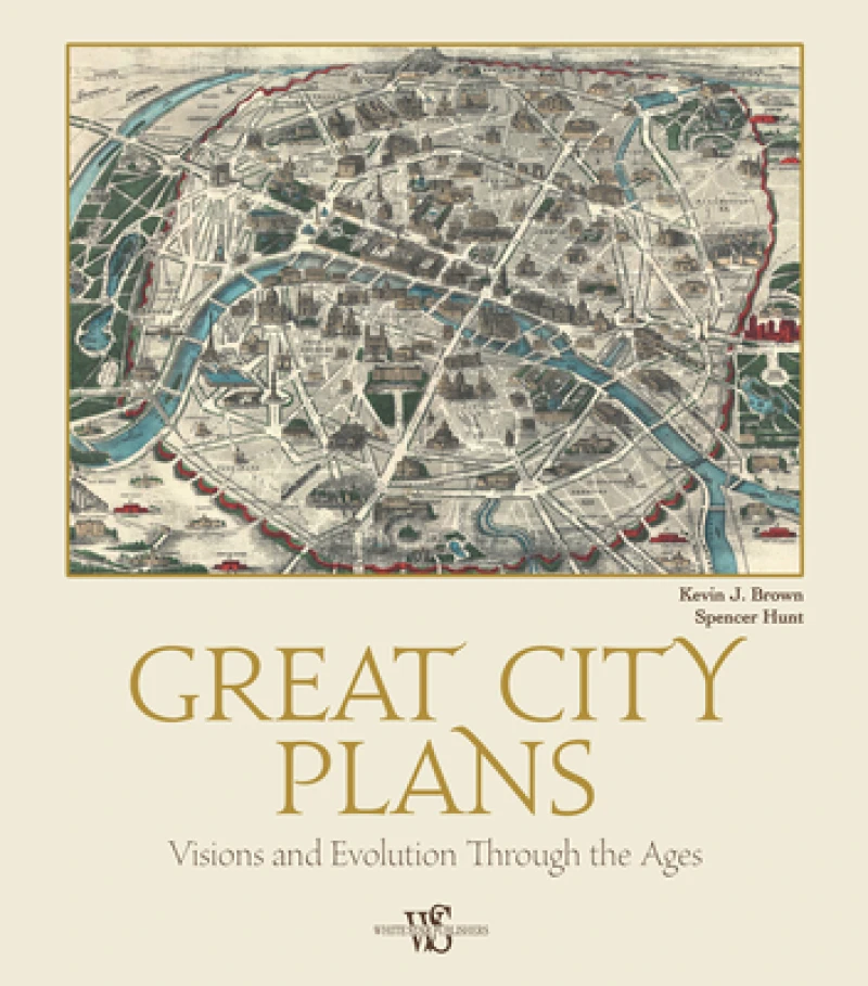
This book is an overview of plans, maps, and occasionally map-views of great cities all over the world.
Follow the evolution of the world’s greatest cities in this big, beautiful coffee-table book of maps and plans.
How did our most renowned cities grow into the metropolises we know today? This unique book, filled with maps and other images, looks at the city plan from its earliest stages in the Renaissance until modern times. Along the way it surveys the city during the Enlightenment, age of Colonialism, and Industrial Revolution; explores the Grand Tour, Asian cities, frontier cities, and the gold rush; looks at the administrative city plan; and finally presents the modern pictorial city map. Alongside each map, textual descriptions reveal its historical, political, social, and/or economic context. In addition, short biographies of the cartographers who produced each map highlight their contributions. While the work covers many cities, it focuses especially on those with a long mapping heritage, including New York, London, Paris, Beijing, Tokyo, and Rome, which appear repeatedly throughout the book.
How did our most renowned cities grow into the metropolises we know today? This unique book, filled with maps and other images, looks at the city plan from its earliest stages in the Renaissance until modern times. Along the way it surveys the city during the Enlightenment, age of Colonialism, and Industrial Revolution; explores the Grand Tour, Asian cities, frontier cities, and the gold rush; looks at the administrative city plan; and finally presents the modern pictorial city map. Alongside each map, textual descriptions reveal its historical, political, social, and/or economic context. In addition, short biographies of the cartographers who produced each map highlight their contributions. While the work covers many cities, it focuses especially on those with a long mapping heritage, including New York, London, Paris, Beijing, Tokyo, and Rome, which appear repeatedly throughout the book.
Get Great City Plans by at the best price and quality guaranteed only at Werezi Africa's largest book ecommerce store. The book was published by White Star and it has pages.

