Historic Town Plans of Lincoln, 1610-1920
Book Details
Format
Hardback or Cased Book
Book Series
Publications of the Lincoln Record Society
ISBN-10
090150369X
ISBN-13
9780901503695
Publisher
Boydell & Brewer Ltd
Imprint
Lincoln Record Society
Country of Manufacture
GB
Country of Publication
GB
Publication Date
Dec 14th, 2004
Print length
128 Pages
Weight
896 grams
Dimensions
24.00 x 33.30 x 1.60 cms
Product Classification:
City & town planning - architectural aspectsBritish & Irish history
Ksh 10,100.00
Werezi Extended Catalogue
0 in stock
Delivery Location
Delivery fee: Select location
Secure
Quality
Fast
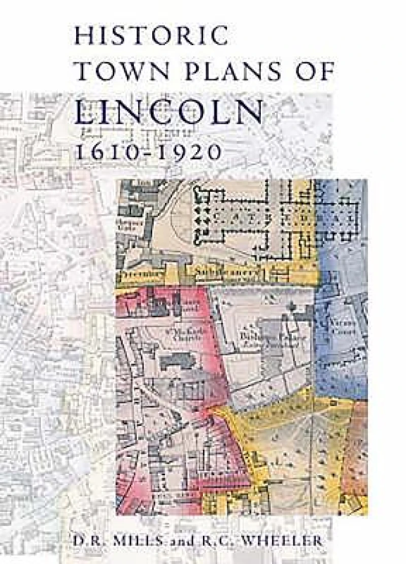
This book collects together early maps of Lincoln, and demonstrates their importance in describing the changing geography of this historic city, and also the development of cartography and its increasing application of scientifictechniques for improved accuracy and precision. Speed published the earliest surviving map of the area in 1610; his work was followed in 1722 by that of William Stukeley, whose map concentrates on historical features. The nineteenth century saw Lincoln mapped a number of times, by William Marrat (1814-17) and shortly afterwards by James Sandby Padley and the Ordnance Survey. It was the electoral reforms of the 1830s that drove the next map-makers to defineward and parish boundaries, the details of which required a larger scale than previous works. Then in 1842 Padley published his remarkable Large Map of Lincoln. The collection ends with the OS map of 1920, a detailed record of the city scaled at six inches to the mile, where modern Lincoln is clearly visible.
Get Historic Town Plans of Lincoln, 1610-1920 by at the best price and quality guaranteed only at Werezi Africa's largest book ecommerce store. The book was published by Boydell & Brewer Ltd and it has pages.

