Historical Sea Charts : Visions and Voyages Through the Ages
Book Details
Format
Hardback or Cased Book
Book Series
Through the Ages
ISBN-10
8854417165
ISBN-13
9788854417168
Publisher
White Star
Imprint
White Star
Country of Manufacture
IT
Country of Publication
GB
Publication Date
Oct 17th, 2023
Print length
208 Pages
Weight
1,758 grams
Dimensions
27.80 x 32.10 x 2.70 cms
Product Classification:
General & world historyMaritime history
Ksh 6,650.00
Re-Printing
0 in stock
Delivery Location
Delivery fee: Select location
Secure
Quality
Fast
This book shows the history of charts and nautical maps from the earliest known examples to the one used in the Twentieth Century, with a special focus on the map makers and the methods of use from 1300 to 1900.
This book shows the history of charts and nautical maps from the earliest known examples to the ones used in the Twentieth Century, with a special focus on the map makers and the methods of use from 1300 to 1900.
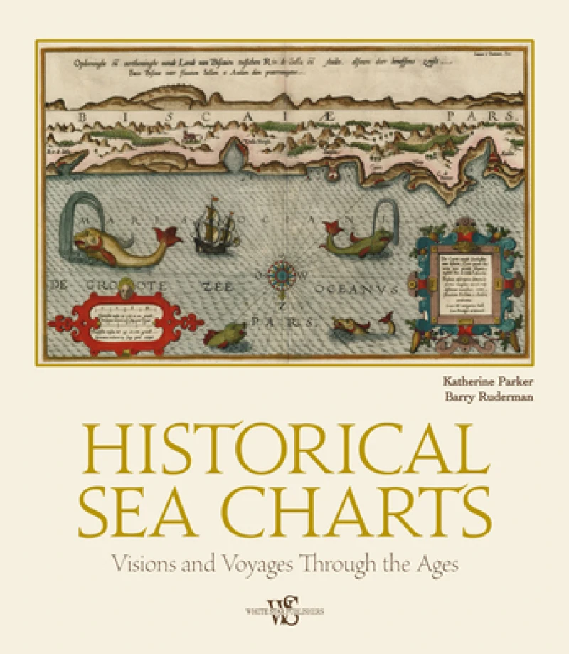
As with many historical objects, nautical charts are admired today for their charm and aesthetic appeal. The maps in Historical Sea Charts are part of the collection owned by Barry Lawrence Ruderman Antique Maps Inc., the world's leading institution for nautical maps. The reader can find in this book the most indicative of trends and ideas through time. For each example in the volume, the reader will find out how the maps were designed and created, as well as how they were used during navigation or in preparation of a journey.
As with many historical objects, nautical charts are admired today for their charm and aesthetic appeal. The maps in Historical Sea Charts are part of the collection owned by Barry Lawrence Ruderman Antique Maps Inc., the world's leading institution for nautical maps. The reader can find in this book the most indicative of trends and ideas through time. For each example in the volume, the reader will find out how the maps were designed and created, as well as how they were used during navigation or in preparation of a journey.
This book shows the history of charts and nautical maps from the earliest known examples to the ones used in the Twentieth Century, with a special focus on the map makers and the methods of use from 1300 to 1900.
As with many historical objects, nautical charts are admired today for their charm and aesthetic appeal. The maps in Historical Sea Charts are part of the collection owned by Barry Lawrence Ruderman Antique Maps Inc., the world's leading institution for nautical maps. The reader can find in this book the most indicative of trends and ideas through time. For each example in the volume, the reader will find out how the maps were designed and created, as well as how they were used during navigation or in preparation of a journey.
As with many historical objects, nautical charts are admired today for their charm and aesthetic appeal. The maps in Historical Sea Charts are part of the collection owned by Barry Lawrence Ruderman Antique Maps Inc., the world's leading institution for nautical maps. The reader can find in this book the most indicative of trends and ideas through time. For each example in the volume, the reader will find out how the maps were designed and created, as well as how they were used during navigation or in preparation of a journey.
Get Historical Sea Charts by at the best price and quality guaranteed only at Werezi Africa's largest book ecommerce store. The book was published by White Star and it has pages.

