John Muir Trail (topographic Map Guide) : National Geographic California
2024th ed.
Book Details
Format
Sheet Map, Folded
ISBN-10
1566956897
ISBN-13
9781566956895
Edition
2024th ed.
Publisher
National Geographic Maps
Imprint
National Geographic Maps
Country of Manufacture
US
Country of Publication
GB
Publication Date
Sep 26th, 2014
Print length
1 Pages
Weight
86 grams
Dimensions
10.70 x 23.90 x 0.70 cms
Product Classification:
Travel maps & atlases
Ksh 2,700.00
Werezi Extended Catalogue
0 in stock
Delivery Location
Delivery fee: Select location
Secure
Quality
Fast
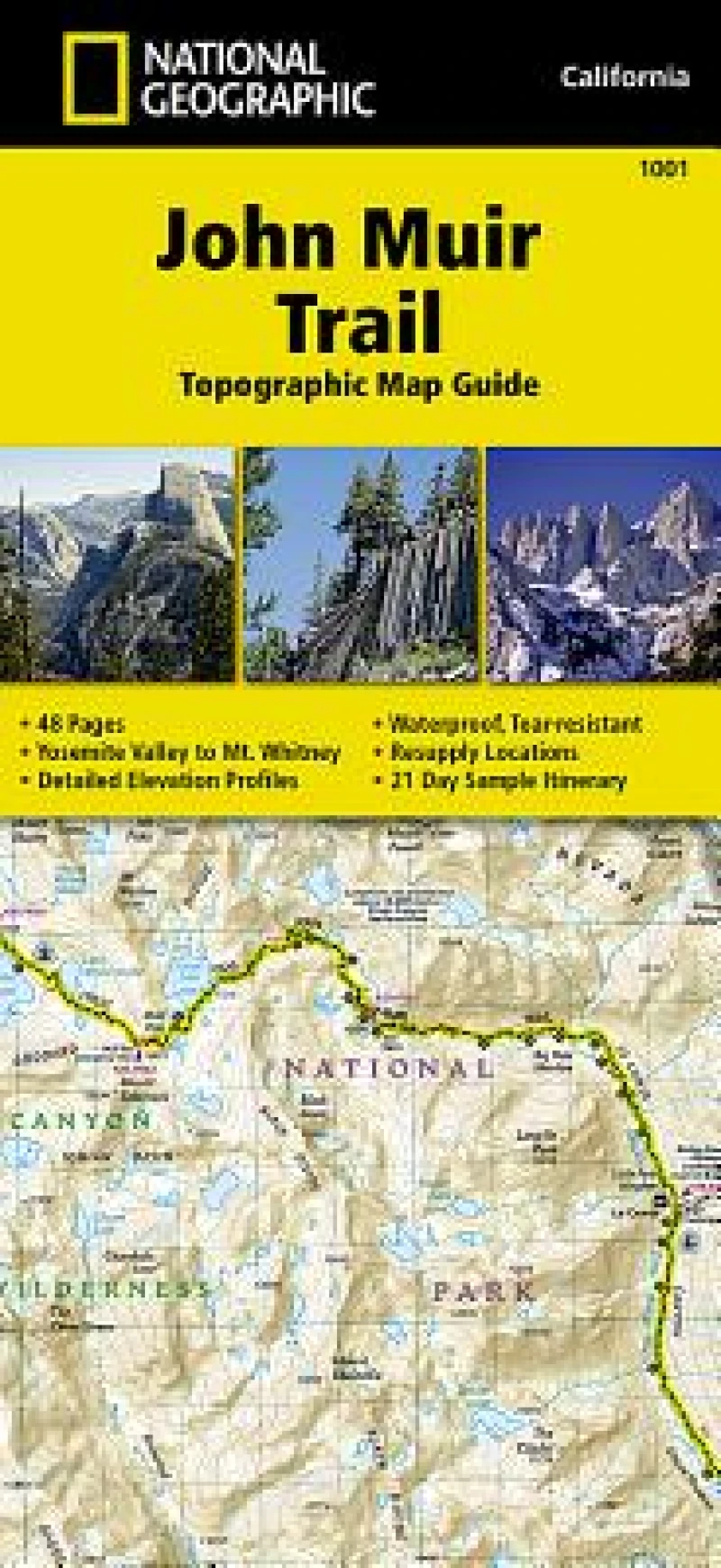
National Geographic's Map Guide of the John Muir Trail is an indispensable tool for navigating one of the most famous trails in the United States. The maps start at the northern terminus in Yosemite Valley and progress along the ridge of the Sierra Nevada, past Devils Postpile, and end at the highest point in the lower 48 on the top of Mount Whitney. Along the way you will pass through; Yosemite National Park, Ansel Adams Wilderness, Devils Postpile National Monument, John Muir Wilderness, Kings Canyon National Park, and finally, Sequoia National Park & Mt Whitney.
National Geographic''s Map Guide of the John Muir Trail is an indispensable tool for navigating one of the most famous trails in the United States. The maps start at the northern terminus in Yosemite Valley and progress along the ridge of the Sierra Nevada, past Devils Postpile, and end at the highest point in the lower 48 on the top of Mount Whitney. Along the way you will pass through; Yosemite National Park, Ansel Adams Wilderness, Devils Postpile National Monument, John Muir Wilderness, Kings Canyon National Park, and finally, Sequoia National Park & Mt Whitney.
Get John Muir Trail (topographic Map Guide) by at the best price and quality guaranteed only at Werezi Africa's largest book ecommerce store. The book was published by National Geographic Maps and it has pages.

