
Book Details
Delivery Location
Delivery fee: Select location
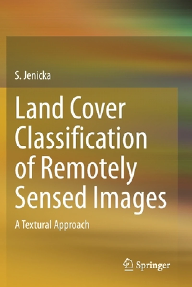
The book introduces two domains namely Remote Sensing and Digital Image Processing. It discusses remote sensing, texture, classifiers, and procedures for performing the texture-based segmentation and land cover classification.
The first chapter discusses the important terminologies in remote sensing, basics of land cover classification, types of remotely sensed images and their characteristics. The second chapter introduces the texture and a detailed literature survey citing papers related to texture analysis and image processing. The third chapter describes basic texture models for gray level images and multivariate texture models for color or remotely sensed images with relevant Matlab source codes. The fourth chapter focuses on texture-based classification and texture-based segmentation. The Matlab source codes for performing supervised texture based segmentation using basic texture models and minimum distance classifier are listed. The fifth chapter describes supervised and unsupervised classifiers. The experimental results obtained using a basic texture model (Uniform Local Binary Pattern) with the classifiers described earlier are discussed through the relevant Matlab source codes. The sixth chapter describes land cover classification procedure using multivariate (statistical and spectral) texture models and minimum distance classifier with Matlab source codes. A few performance metrics are also explained. The seventh chapter explains how texture based segmentation and land cover classification are performed using the hidden Markov model with relevant Matlab source codes. The eighth chapter gives an overview of spatial data analysis and other existing land cover classification methods. The ninth chapter addresses the research issues and challenges associated with land cover classification using textural approaches.
This book is useful for undergraduates in Computer Science and Civil Engineering and postgraduates who plan to do research or project work in digital image processing. The book can serve as a guide to those who narrow down their research to processing remotely sensed images. It addresses a wide range of texture models and classifiers. The book not only guides but aids the reader in implementing the concepts through the Matlab source codes listed. In short, the book will be a valuable resource for growing academicians to gain expertise in their area of specialization and students who aim at gaining in-depth knowledge through practical implementations. The exercises given under texture based segmentation (excluding land cover classification exercises) can serve as lab exercises for the undergraduate students who learn texture based image processing.
Get Land Cover Classification of Remotely Sensed Images by at the best price and quality guaranteed only at Werezi Africa's largest book ecommerce store. The book was published by Springer Nature Switzerland AG and it has pages.

