Mapping Doggerland: The Mesolithic Landscapes of the Southern North Sea
Book Details
Format
Paperback / Softback
ISBN-10
1905739141
ISBN-13
9781905739141
Publisher
Archaeopress
Imprint
Archaeopress Archaeology
Country of Manufacture
GB
Country of Publication
GB
Publication Date
Dec 12th, 2007
Print length
148 Pages
Weight
566 grams
Dimensions
29.80 x 20.90 x 1.10 cms
Product Classification:
Prehistoric archaeologyUnderwater archaeology
Ksh 5,500.00
Werezi Extended Catalogue
Delivery in 14 days
2 copies in stock
Delivery Location
Delivery fee: Select location
Delivery in 14 days
Secure
Quality
Fast
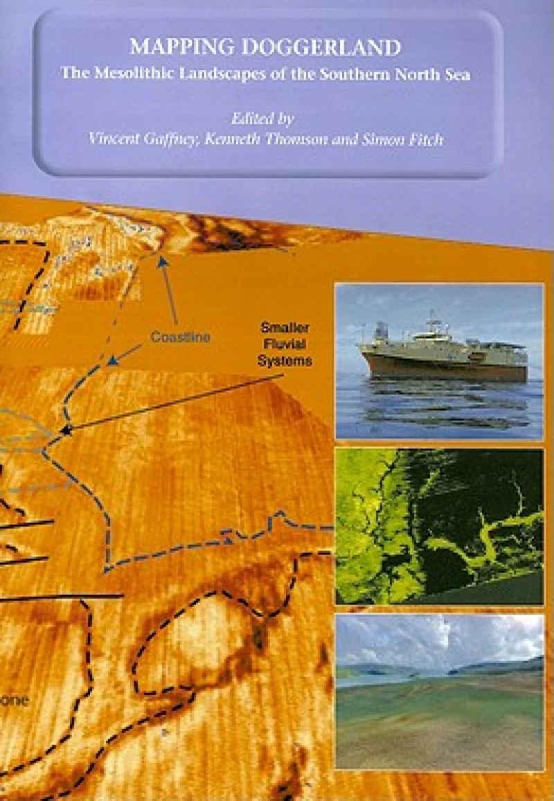
Mapping Doggerland documents the methodology and results of an innovative project to investigate a large area of the Southern North Sea, submerged during the last Glacial Maximum between 10,000 and 7500 bp.
12,000 years ago the area that now forms the southern North Sea was dry land: a vast plain populated by Mesolithic hunter-gatherers. By 5,500 BC the entire area had disappeared beneath the sea as a consequence of rising sea levels. Until now, this unique landscape remained hidden from view and almost entirely unknown. The North Sea Palaeolandscape Project, funded by the Aggregates Levy Sustainability Fund, have mapped 23,000 km2 of this “lost world” using seismic data collected for mineral exploration. "Mapping Doggerland" demonstrates that the North Sea covers one of the largest and best preserved prehistoric landscapes in Europe. In mapping this exceptional landscape the project has begun to provide an insight into the historic impact of the last great phase of global warming experienced by modern man and to assess the significance of the massive loss of European land that occurred as a consequence of climate change.
Get Mapping Doggerland: The Mesolithic Landscapes of the Southern North Sea by at the best price and quality guaranteed only at Werezi Africa's largest book ecommerce store. The book was published by Archaeopress and it has pages.

