Federal Emergency Management Agency (FEMA) Flood Insurance Rate Maps portray the height and extent to which flooding is expected to occur, and they form the basis for setting flood insurance premiums and regulating development in the floodplain. As such, they are an important tool for individuals, businesses, communities, and government agencies to understand and deal with flood hazard and flood risk. Improving map accuracy is therefore not an academic question—better maps help everyone.
Making and maintaining an accurate flood map is neither simple nor inexpensive. Even after an investment of more than $1 billion to take flood maps into the digital world, only 21 percent of the population has maps that meet or exceed national flood hazard data quality thresholds. Even when floodplains are mapped with high accuracy, land development and natural changes to the landscape or hydrologic systems create the need for continuous map maintenance and updates.
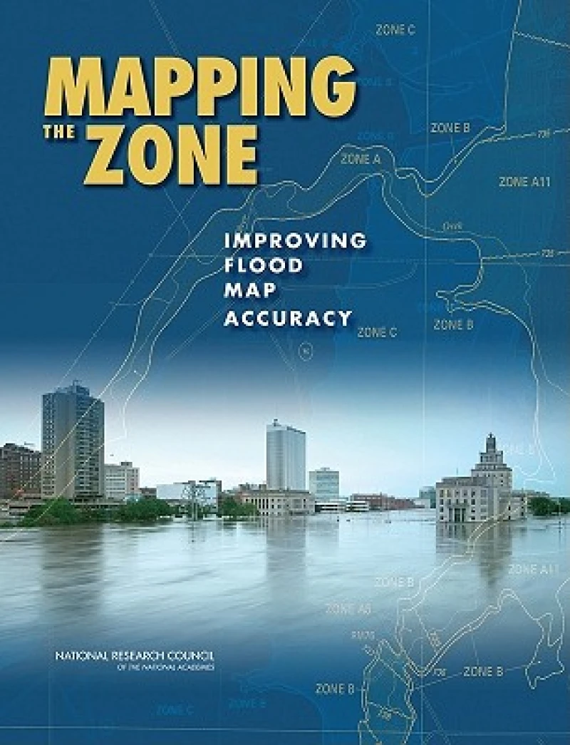
Mapping the Zone examines the factors that affect flood map accuracy, assesses the benefits and costs of more accurate flood maps, and recommends ways to improve flood mapping, communication, and management of flood-related data.
Federal Emergency Management Agency (FEMA) Flood Insurance Rate Maps portray the height and extent to which flooding is expected to occur, and they form the basis for setting flood insurance premiums and regulating development in the floodplain. As such, they are an important tool for individuals, businesses, communities, and government agencies to understand and deal with flood hazard and flood risk. Improving map accuracy is therefore not an academic question—better maps help everyone. Making and maintaining an accurate flood map is neither simple nor inexpensive. Even after an investment of more than $1 billion to take flood maps into the digital world, only 21 percent of the population has maps that meet or exceed national flood hazard data quality thresholds. Even when floodplains are mapped with high accuracy, land development and natural changes to the landscape or hydrologic systems create the need for continuous map maintenance and updates. Mapping the Zone examines the factors that affect flood map accuracy, assesses the benefits and costs of more accurate flood maps, and recommends ways to improve flood mapping, communication, and management of flood-related data. Table of ContentsFront MatterSummary1 Introduction2 Flood Mapping and Flood Insurance3 Elevation and Height Data4 Inland Flooding5 Coastal Flooding6 Benefits and Costs of Accurate Flood Mapping7 Mapping and Risk Communication: Moving to the FutureReferencesAppendixesAppendix A: Methods for Estimating Base Flood Elevations in Approximate StudiesAppendix B: Biographical Sketches of Committee MembersAppendix C: GlossaryAppendix D: Acronyms and Abbreviations
Get Mapping the Zone by at the best price and quality guaranteed only at Werezi Africa's largest book ecommerce store. The book was published by National Academies Press and it has pages.
Our digital collection is currently being curated to ensure the best possible reading experience on Werezi. We'll be launching our Ebooks platform shortly.