Picturing America : The Golden Age of Pictorial Maps
Book Details
Format
Hardback or Cased Book
ISBN-10
022638604X
ISBN-13
9780226386041
Publisher
The University of Chicago Press
Imprint
University of Chicago Press
Country of Manufacture
US
Country of Publication
GB
Publication Date
Mar 23rd, 2017
Print length
304 Pages
Weight
1,526 grams
Dimensions
23.00 x 28.80 x 2.60 cms
Product Classification:
History of the Americas20th century history: c 1900 to c 2000
Ksh 8,300.00
Werezi Extended Catalogue
0 in stock
Delivery Location
Delivery fee: Select location
Secure
Quality
Fast
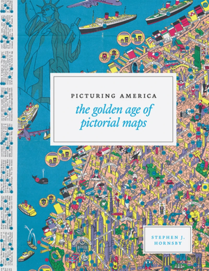
Instructive, amusing, colorful pictorial maps have been used and admired since the first medieval cartographer put pen to paper depicting mountains and trees across countries, people and objects around margins, and sea monsters in oceans. More recent generations of pictorial map artists have continued that traditional mixture of whimsy and fact, combining cartographic elements with text and images and featuring bold and arresting designs, bright and cheerful colors, and lively detail. In the United States, the art form flourished during the 1920s to the 1970s, when thousands of innovative maps were mass-produced for use as advertisements and decorative objects the golden age of American pictorial maps. Picturing America is the first book to showcase this vivid and popular genre of maps. Geographer and collector Stephen J. Hornsby gathers together 158 delightful pictorial jewels, most drawn from the extensive collections of the Library of Congress. In his informative introduction, Hornsby outlines the development of the cartographic form, identifies several representative artists, describes the process of creating a pictorial map, and considers the significance of the form in the history of Western cartography. Organized into six thematic sections, Picturing America covers a vast swath of the pictorial map tradition during its golden age, ranging from "Maps to Amuse" to "Maps for War." Hornsby has unearthed the most fascinating and visually striking maps the United States has to offer: Disney cartoon maps, college campus maps, kooky state tourism ads, WWII promotional posters, and many more. This remarkable, charming volume's glorious full -color pictorial maps will be irresistible to any map-lover or armchair traveler.
Get Picturing America by at the best price and quality guaranteed only at Werezi Africa's largest book ecommerce store. The book was published by The University of Chicago Press and it has pages.

