
Book Details
Format
Paperback / Softback
ISBN-10
0008445222
ISBN-13
9780008445225
Edition
New Ninth edition
Publisher
HarperCollins Publishers
Imprint
HarperCollins
Country of Manufacture
IN
Country of Publication
GB
Publication Date
Mar 4th, 2021
Print length
96 Pages
Weight
156 grams
Dimensions
15.00 x 21.60 x 1.10 cms
Ksh 1,450.00
Publisher Out of Stock
0 in stock
Delivery Location
Delivery fee: Select location
Secure
Quality
Fast
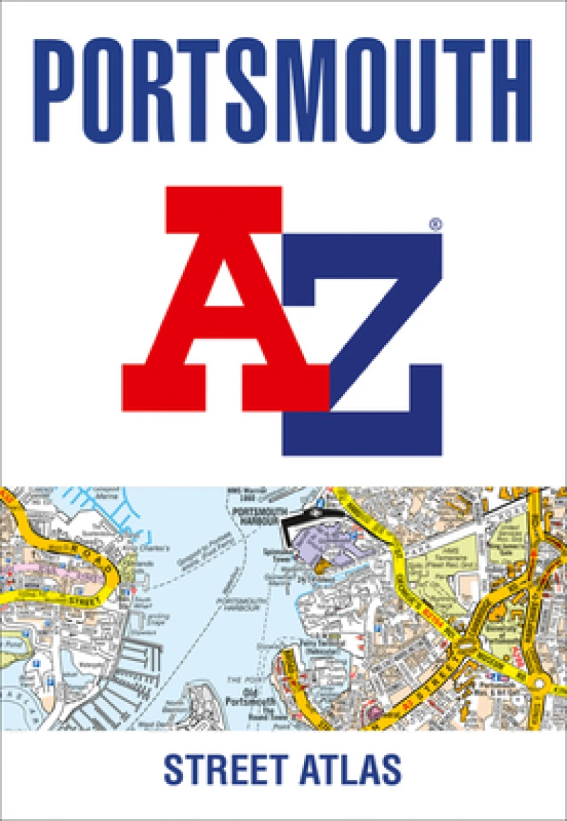
Navigate your way around Portsmouth with this detailed and easy-to-use A-Z Street Atlas. Printed in full-colour, paperback format, this atlas contains 54 pages of continuous street mapping.
Navigate your way around Portsmouth with this detailed and easy-to-use A-Z Street Atlas. Printed in full-colour, paperback format, this atlas contains 54 pages of continuous street mapping.The main mapping extends beyond central Portsmouth at a scale of 4 inches to 1 mile, featuring postcode districts, one-way streets, park and ride sites, and safety camera locations. Areas covered include:• Fareham• Gosport• Havant• Horndean• Waterlooville• Emsworth• Hayling Island• Portsea Island• Cosham• Lee-on-the-Solent• Stubbington• Portchester• Wickham and Clanfield (inset)Separate coverage of Petersfeld is provided.The large-scale street map of Portsmouth city centre – at a scale of 8 inches to 1 mile – includes:• Places of Interest Guide, highlighting historic maritime tourist attractions to modern-day landmarks• Postcode map of the Portsmouth area• Road map of the Portsmouth area• South Downs National Park boundariesA comprehensive index lists streets, selected flats, walkways and places of interest, place, area and station names. Additional healthcare (hospitals, walk-in centres and hospices) are indexed as well.
Get PORTSMOUTH A-Z STREET ATL PB by at the best price and quality guaranteed only at Werezi Africa's largest book ecommerce store. The book was published by HarperCollins Publishers and it has pages.

