Slovakia : Travel Maps International Adventure Map
Book Details
Format
Sheet Map, Folded
ISBN-10
1566956420
ISBN-13
9781566956420
Publisher
National Geographic Maps
Imprint
National Geographic Maps
Country of Manufacture
US
Country of Publication
GB
Publication Date
Mar 28th, 2013
Print length
1 Pages
Weight
92 grams
Dimensions
23.40 x 11.20 x 0.70 cms
Product Classification:
Travel maps & atlases
Ksh 2,700.00
Werezi Extended Catalogue
0 in stock
Delivery Location
Delivery fee: Select location
Secure
Quality
Fast
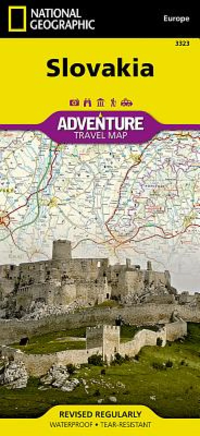
Slovakia's snow-capped mountains and lush valleys making up almost a third of its area - a great place for adventure whether you are on a solo holiday, travelling with a partner, or with a family group. National Geographic's Slovakia Adventure Map is designed to meet the needs of all adventure travelers with its durability and detailed, accurate information. The map includes the locations of cities and towns with a user-friendly index, a clearly marked road network complete with distances and designations for roads/highways, plus secondary routes for those seeking to explore off the beaten path. Use side one to trek through the Alpine peaks of the High Tatras on the northern border with Poland. Afterward, explore some of central Europe's largest castles, go underground to visit ethereal ice caves, and visit the marked UNESCO heritage sites. Side two will take you through Slovakia's lively capital, Bratislava, and its charming Old Town. Explore the largely undeveloped countryside of northern Slovakia by bike, foot, or river barge. Adventure Maps differ from a traditional road map because of the specialty content they include. Each map contains hundreds of diverse and unique recreational, ecological, cultural, and historic destinations - outside of the major tourist hubs. National Geographic Adventure Maps are the perfect companion to a guidebook, yet far easier to pack! The Slovakia Adventure Map is printed in the United States on a durable synthetic paper, making it waterproof, tear-resistant, and capable of withstanding the rigors of international travel. The map is two-sided and is folded to a packable size of 235 x 108 mm; unfolded size is 965 x 660 mm. Travel Tip! Due to the synthetic sheet that Adventure Maps are printed on, you can easily fold the map to a discreet size, showing just the area you're interested in.
Get Slovakia by at the best price and quality guaranteed only at Werezi Africa's largest book ecommerce store. The book was published by National Geographic Maps and it has pages.

