
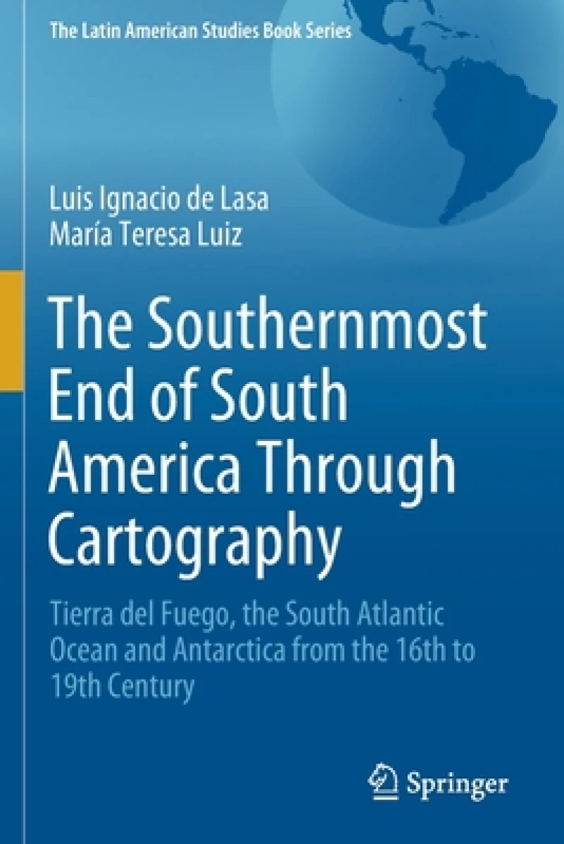
The Southernmost End of South America Through Cartography : Tierra del Fuego, the South Atlantic Ocean and Antarctica from the 16th to 19th Century
2021 ed.
Book Details
Delivery Location
Delivery fee: Select location
This volume describes the construction of the territorial identity of the southern end of South America and analyzes the cartographic territorialization of Patagonia, Tierra del Fuego and the "Terra Australis" continent. Different spatial representations and territorial nature coexisted in this process as a result of the spatial interpretation and value modes as well as the projects and strategies of various actors.
The book discusses the formal and symbolic incorporation to the Spanish dominion and its inclusion in the imperial design built over a new image of the world. Examining Jesuit cartography it considers both the indigenous territoriality and the dynamics of relations between natural and social components in the continental hinterland. The process of cartographic differentiation for this southern Atlantic region is analyzed in the framework of early Antarctic exploration and competing use of navigation routes and maritime resources. The book emphasizes the role geopolitical and economic interests play in these developments.The formation of territorialities of various origins has particular contents and logic, which are built upon imaginary subordination to political and economic interests. Cartographic language in the 19th century, associated with political and commercial motivations and the (British) imperial ideology, stimulated the territorial expansion. The book argues why in the late 1800''s this was an important factor in the integration process of the southern indigenous territories and the national territoriality.
Get The Southernmost End of South America Through Cartography by at the best price and quality guaranteed only at Werezi Africa's largest book ecommerce store. The book was published by Springer Nature Switzerland AG and it has pages.

