
Wabanaki Homeland and the New State of Maine : The 1820 Journal and Plans of Survey of Joseph Treat
Book Details
Format
Paperback / Softback
Book Series
Native Americans of the Northeast
ISBN-10
1625342896
ISBN-13
9781625342898
Publisher
University of Massachusetts Press
Imprint
University of Massachusetts Press
Country of Manufacture
US
Country of Publication
GB
Publication Date
Mar 2nd, 2017
Print length
320 Pages
Weight
499 grams
Dimensions
22.60 x 17.50 x 2.20 cms
Ksh 5,200.00
Temporarily out of stock, due soon
0 in stock
Delivery Location
Delivery fee: Select location
Secure
Quality
Fast
Edited, annotated, and with an introduction by Micah Pawling, this volume includes a complete transcription of Major Joseph Treat's journal, reproductions of dozens of hand-drawn maps, and records pertaining to the 1820 treaty between the Penobscot Nation and the governing authorities of Maine.
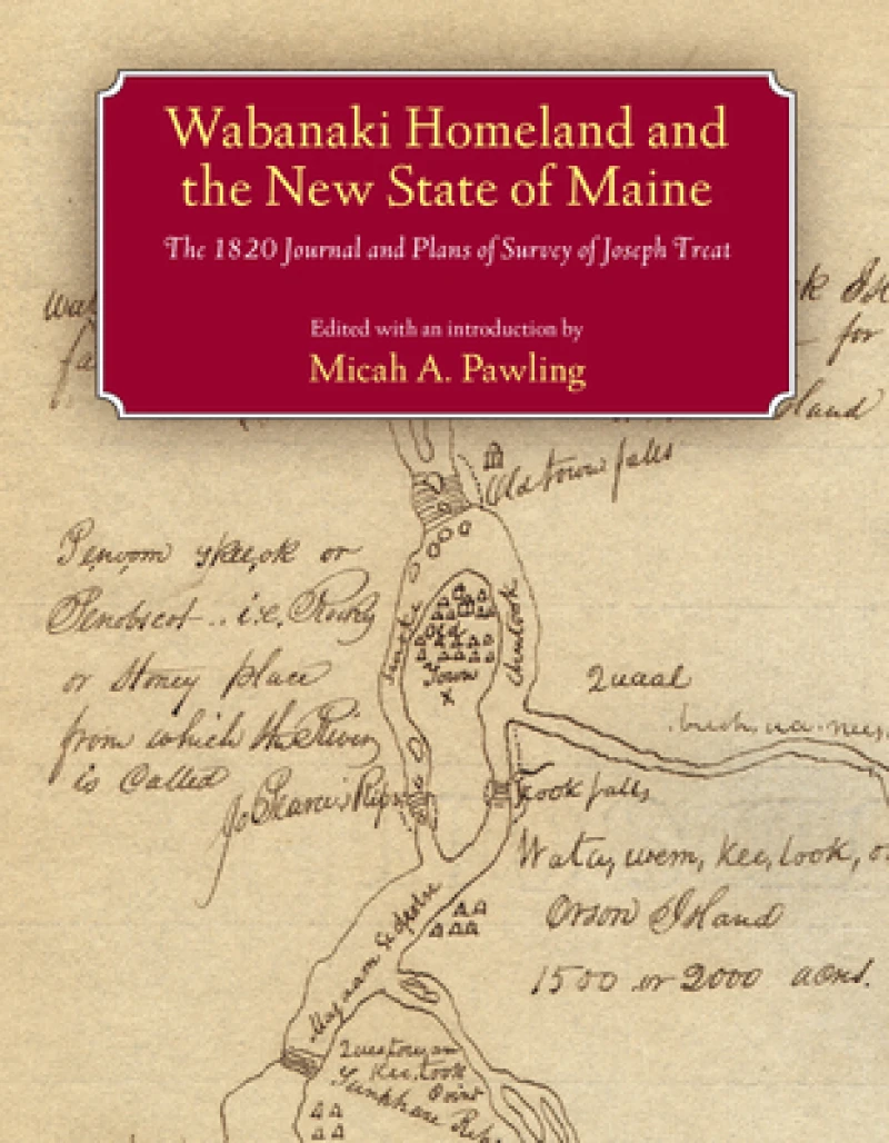
In late September 1820, hoping to lay claim to territory then under dispute between Great Britain and the United States, Governor William King of the newly founded state of Maine dispatched Major Joseph Treat to survey public lands on the Penobscot and Saint John Rivers. Traveling well beyond the limits of colonial settlement, Treat relied heavily on the cultural knowledge and expertise of John Neptune, lieutenant governor of the Penobscot tribe, to guide him across the Wabanaki homeland. Along the way Treat recorded his daily experiences in a journal and drew detailed maps, documenting the interactions of the Wabanaki peoples with the land and space they knew as home. Edited, annotated, and with an introduction by Micah Pawling, this volume includes a complete transcription of Treat's journal, reproductions of dozens of hand-drawn maps, and records pertaining to the 1820 treaty between the Penobscot Nation and the governing authorities of Maine. As Pawling points out, Treat's journal offers more than the observations of a state agent conducting a survey. It re-creates a dialogue between Euro-Americans and Native peoples, showing how different perceptions of the land were negotiated and disseminated, and exposing the tensions that surfaced when assumptions and expectations clashed. In large part because of Neptune's influence, the maps, in addition to detailing the location of Wabanaki settlements, reflect a river-oriented Native perspective that would later serve as a key to Euro-American access to the region's interior. The groundwork for cooperation between Treat and Neptune had been laid during the 1820 treaty negotiations, in which both men participated and which were successfully concluded just over a month before their expedition departed from Bangor, Maine. Despite conflicting interests and mutual suspicions, they were able to work together and cultivate a measure of trust as they traveled across northern Maine and western New Brunswick, mapping an old world together while envisioning its uncertain future.
Get Wabanaki Homeland and the New State of Maine by at the best price and quality guaranteed only at Werezi Africa's largest book ecommerce store. The book was published by University of Massachusetts Press and it has pages.

