
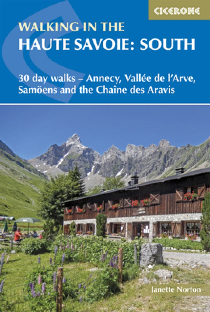
Walking in the Haute Savoie: South : 30 day walks - Annecy, VallA©e de l'Arve, SamoA«ns and the ChaA®ne des Aravis
3 Revised edition
Book Details
Format
Paperback / Softback
ISBN-10
1852848111
ISBN-13
9781852848118
Edition
3 Revised edition
Publisher
Cicerone Press
Imprint
Cicerone Press
Country of Manufacture
GB
Country of Publication
GB
Publication Date
Jul 25th, 2024
Print length
272 Pages
Weight
300 grams
Dimensions
11.70 x 17.10 x 1.90 cms
Ksh 3,250.00
Werezi Extended Catalogue
Delivery in 14 days
1 copies in stock
Delivery Location
Delivery fee: Select location
Delivery in 14 days
Secure
Quality
Fast
Second volume of a 2-part guide to walking in the Haute Savoie in the French Alps. This guidebook describes 30 half to full-day routes in the area between Chamonix and Annecy. Walks are located near Samoëns, Sixt, La Clusaz, Thônes, la Roche-sur-Foron and Lake Annecy. Includes Chaîne des Aravis, Plateau de la Borne and Haut Giffre.
Between Chamonix and the glittering waters of Lake Annecy, the southern Haute Savoie offers a wealth of walking that most visitors to the French Alps never discover. Dramatic limestone ridges, flower-rich alpine meadows, hidden mountain lakes, cascading waterfalls and the distinctive peaks of the Chaîne des Aravis and the Haut Giffre combine to create a landscape that rivals its more famous neighbours in beauty, without the crowds. With walks suited to beginners and experienced walkers alike, this third edition Cicerone guidebook by Janette Norton, Alan Norton and Pamela Harris covers 30 graded day walks across southern Haute Savoie, ranging from 7 to 20km (4 to 12 miles) and taking between 3 and 8 hours. Route descriptions are paired with 1:50,000 mapping and downloadable GPX files, with detailed planning, accommodation and transport information throughout. 30 graded walks are included across six areas, covering the Vallée de l'Arve, Vallée du Haut Giffre, the Chaîne des Aravis north and south, the Plateau de la Borne and Lake Annecy, with walks graded from easy to difficultLake Annecy and the surrounding mountains are covered with fully described routes, including La Tournette, the Cascades d'Angon and the Crête du Taillefer, exploring one of the most beautiful lake regions in FranceThe Chaîne des Aravis, the dramatic limestone ridge running south of the Mont Blanc massif, is described in depth with multiple routes including the Trou de la Mouche, Circuit des Annes and Arête des Saix, fully detailed with 1:50,000 mappingThe Plateau de la Borne, including the historically significant Plateau des Glières — site of a celebrated French Resistance stand in 1944 — is covered with full route descriptions for the Parmelan, Montagne de Sous-Dîne and the Glières memorial plateau itself1:50,000 mapping and downloadable GPX files for every walk, with accommodation, transport and planning information throughout, alongside notes on Savoyard food and drink, history and wildlife The southern Haute Savoie rewards every walker who looks beyond Chamonix and Annecy to the quieter valleys and ridges in between. Best walked from late spring to early autumn when higher routes are snow-free, this guidebook is the ideal companion for exploring one of the French Alps' most underrated walking regions. Walking in the Haute Savoie South is one of two volumes covering the region — the companion guidebook Walking in the Haute Savoie North completes the picture across the full extent of this outstanding French Alpine destination.
Get Walking in the Haute Savoie: South by at the best price and quality guaranteed only at Werezi Africa's largest book ecommerce store. The book was published by Cicerone Press and it has pages.

